 BAM GeoPortal
ESRI Shapefile
Type of resources
Available actions
Topics
Keywords
Contact for the resource
Provided by
Formats
Representation types
Update frequencies
status
Regions
Categories
-

We calculated population estimates for 81 landbird species in Bird Conservation Region 6 in Alberta, Canada, using spatially explicit models on roadside and off-road point-count surveys that incorporate land cover and climate as predictors. We compared our results with population estimates from Partners in Flight (PIF) and developed a framework to evaluate how the differences between the detection distance, time-of-day, roadside count, and habitat representation adjustments explain discrepancies between the 2 estimators.
-
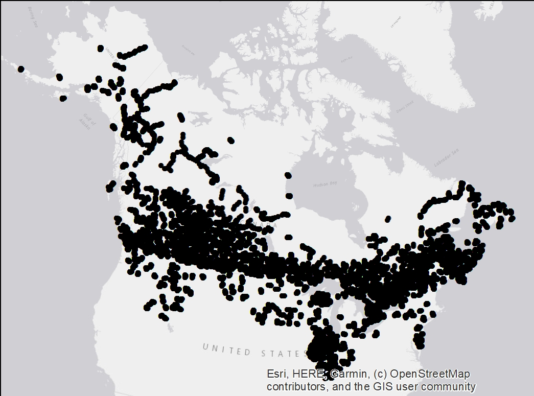
BBS is a cooperative effort between the U.S. Geological Survey's Patuxent Wildlife Research Center and Environment Canada's Canadian Wildlife Service to monitor the status and trends of North American bird populations. Geospatial data are assembled at the route level and are accessible throught the USGS website. Over the years, BAM staffs with the help of CWS succeeded to assemble a set of coordinates at the Stop level for some of the Canadian and North of the USA routes. A total of 70677 stops locations, mostly across Canada, are mapped in ESRI shapefile format. Those coordinates were then used to convert BBS data into the latest BAM database format (v6). Reach Point of Contact mentionned below to access BBS_BAM harmonized data.